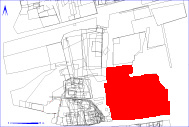
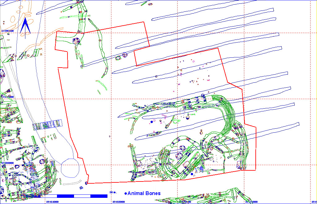
Shows location of spit 11BA1 in relation to the rest of Site 11


011BA00001    Machine Clearance


Spit Details
Length 10974 Width 9560 Depth 50
Area  10491.14 sq. m Volume
Material Culture Number of Objects 0 Number of Animal Bones 4

Stratigraphic Matrix Diagram

                             011BA00001                                       
                                                                   
               011BA00200                         011BA00063         011BA00307   011BA00061   011BA00062   011BA00154   011BA00778
                                                                   
  011BA00233           011BA00372              011BA00517                     011BA00308                
                                         011BA00082                          
  011BA00619   011BA00267    011BA00684   011BA00306               011BA00618                   011BA00373                
                                                                   
              011BA00396                      011BA00103                              
                  011BA00477                                                
                        011BA00566               011BA00128                          
                                                                   
                            011BA00620                                      
                                                                   

The matrix diagram above shows an extract of the spits and layers from Area 11BA indicating their relationships to each other. Click on the spit number which you wish to see in more detail. The bold, flashing (Netscape browser only) context indicates the current catalogue entry.

Discussion

This was the machine clearance of area 11BA. The depth of material removed was a maximum of 15cm in the north and 50cm in the south (this was up against the trackway to Rectory Farm, over an area of buried soil which later was interpreted as a "farm mound" by the soil specialist Richard Macphail). A number of Medieval ridge and furrow remains were visible, running east-west across the site. The underlying geology was chalk, with areas of pink chalk and clay in the north-west of the area, and deeper hillwash deposits in the south.

Generally, the features were quite well defined by the removal of this material (plough soil down onto a sandy loam, Munsell 10YR 4/3), although further cleaning over some areas was necessary prior to excavation. A cremation cemetery 011BA07084 was defined in the north-eastern quadrant of the area, as well as much of the northern half of the enclosure sequence 011BA07130.

As most of the finds could be attributed to the features from which they derived, only two animal bones were lifted under this number.

011BA00001 Animal Bone Totals by Species


Context Details

KEY_ID TYPE SHAPE L B D PROFILE NOTES
011BA00001 SPIT COMPLEX
10974
9560
50
FLAT MACHINE CLEARANCE OF AREA BA. EXPOSED LARGE ENCLOSURE AND NO. OF CREMATION PITS. FEATURES MAINLY FILLED WITH SANDY LOAM HILL-WASH. SANDY CLAY IN AREAS. [MAXIMUM DEPTH 15 IN THE NORTH AND 50 IN THE S]

Animal Bones