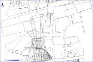
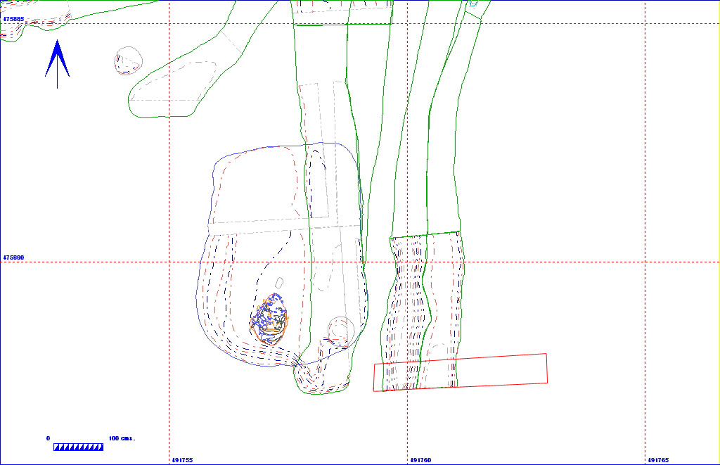
Shows location of layer 11BA307 in relation to the rest of Site 11


011BA00307     Layer


Layer Details
Length 170 Width 87 Depth 19
Area  1.48 sq. m Volume
Material Culture Number of Objects 0 Number of Animal Bones 0
Environmental 

Stratigraphic Matrix Diagram

                             011BA00001                                       
                                                                   
               011BA00200                         011BA00063         011BA00307   011BA00061   011BA00062   011BA00154   011BA00778
                                                                   
  011BA00233           011BA00372              011BA00517                     011BA00308                
                                         011BA00082                          
  011BA00619   011BA00267    011BA00684   011BA00306               011BA00618                   011BA00373                
                                                                   
              011BA00396                      011BA00103                              
                  011BA00477                                                
                        011BA00566               011BA00128                          
                                                                   
                            011BA00620                                      
                                                                   

The matrix diagram above shows all of the spits and layers in Area 11BA indicating their relationship to each other. Click on the spit number which you wish to see in more detail. The bold, flashing (Netscape browser only) context indicates the current catalogue entry.

Discussion

A box section was excavated by machine to eastablish the soil profile in the south-eastern part of the site, as well as to define the line of two north south aligned ditches (011BA00275 and 011BA00277), and to allow an environmental sample column to be taken. This number was issued for the modern ploughsoil level (a sandy loam, Munsell colour 10YR 3/3). There were no finds.

Context Details

KEY_ID TYPE SHAPE L B D PROFILE NOTES
011BA00307 LAYER No entry
170
87
19
No entry SURFACE HORIZON MODERN PLOUGH SOIL SOUTHERN BAULK. NUMBER ISSUED FOR SEGMENT TAKEN DOWN BY HAND TO REVEAL DITCHES.